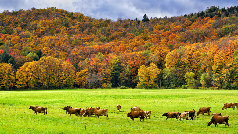
Most Scenic Drives To Take In Vermont
This slender state, bordering Canada to the north and one of the 10 smallest in the country by size, might not seem rife with a treasure chest of scenic drives. But a number of factors make this destination a joy to tour on wheels. For one, the state population is minute, with around 650,000 people in the entire territory of Vermont, equivalent to the residents of Oklahoma City. This means that roads aren't busy — you're more likely to see wildlife than human life — and since scenic drives are always better when there are fewer people out and about to spoil the views, that's a plus.
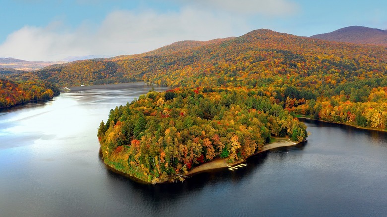
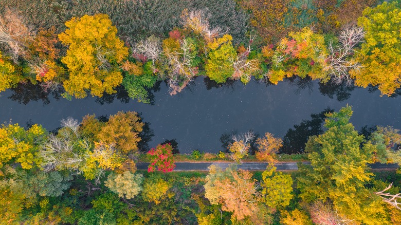
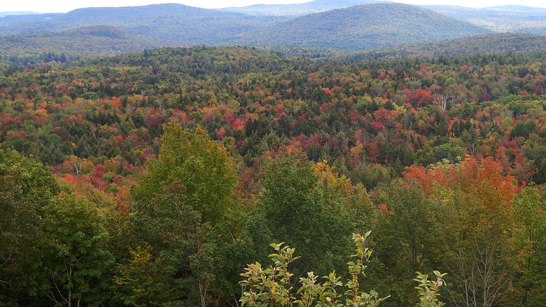
Vast tracts of the state are covered in forest, almost 80% according to the Vermont government, creating a natural tableau that is a delight to see at any time of the year, whether in nascent bloom, with leaves changing color, or frosted with snow. And even highways, those industrial arteries of mass transit that spread across the country like an intricate web, don't have billboards in Vermont, making them pleasant places to speed along, devoid of irksome, distracting commercial advertisements. That sense of calm is also apparent in the rural roads and scenic byways that spread around the state's innards, offering motorists corridors of natural beauty that will make them sigh in wonder. Below, in alphabetical order, are some of the most eye-catching drives to take on your next trip to Vermont.
Connecticut River Byway
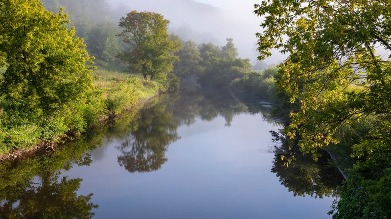
Designated a National Scenic Byway in 2005 — roads that have a natural, cultural, or recreational quality, or a combination of them — this scenic route extends from the border of Canada and winds its way into New Hampshire and Massachusetts. The scenery is frequently vertical as the road skirts the river, traveling in between Vermont's Green Mountains to the west and New Hampshire's White Mountains to the east. Seasoned hikers might have some knowledge of this area, with the Appalachian Trail, the Herculean walkway that stretches more than 2,000 miles from Maine to Georgia, sitting about 20 minutes away from most parts of the byway.
Other activities also open themselves up to visitors, with river sports like fishing and rafting possible, and skiing on the mountains during the colder months. Be sure to stop by the Fort at No. 4, across the border in New Hampshire, a plantation that, when it was an active settlement, was the northwesternmost village among Britain's colonies.
Green Mountain Byway
This drive does not inhabit a specific, single stretch of road, but rather extends along a patchwork of routes that crisscross the Green Mountains in the northern part of the state. The southern point of the drive is in Waterbury, a quintessential Vermont village, with pretty streets perfect for walking, plenty of shopping and dining, and a raft of activities nearby — paddling, hiking, and great mountain biking.
Visitors with a sweet tooth might find themselves spending longer in the town than the average traveler — there is a Ben & Jerry's factory here, the only one open to the public, and that churns out 350,000 pints of the frozen phenomenon per day. The tour ends with a tasting in the Flavor Room, a great way to fuel up for the drive. As you hit the road, expect to run across a pleasing variety of topography, from the ridges of the Green Mountains to peaks of the Worcester Range of mountains, and even rolling farmland and meadows. Needless to say, fall here promises a riot of colors that will leave your mouth agape in wonder, and your fingers sore from snapping photos.
Lake Champlain Byway
Spreading out in New York and Vermont states, and also the Canadian province of Quebec, Lake Champlain is an attractive body of freshwater, shaped like a large, dancing flame. It's a beautiful waterway, with tourist towns dotted along its shores, and fine water activities available here in the summer. This byway celebrates the lake's natural beauty, traveling along Routes 2 and 7, and though the 80 miles of the route can easily be covered in a couple of hours, visitors will find it much more rewarding to take their time, perhaps maybe make a full day of it.
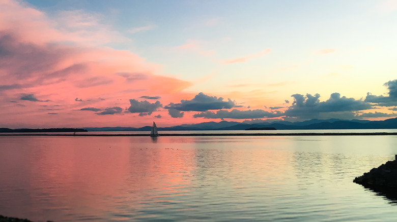
Along the way, you'll get to see New York's Adirondack Mountains, Vermont's own Green Mountains, and of course the shimmering waters of Lake Champlain as you journey along and around the lakeside. Other views take in the forest and farms of rural Vermont — stunning tableaus during spring blooms and fall's changing of the leaves. The state's largest town, Burlington, with museums, parks, historical sites, and sunset cruises on Lake Champlain, is one stop on this route not to miss.
Lincoln Gap Road
In the center-north of the state, and close to the popular ski resort Sugarbush, this high mountain road that shuttles between the towns of Lincoln and Warren is closed in the winter. Visit during the warmer months and you'll find plenty of hikers here enjoying the elevation and clean alpine air, an area that sits between the Lake Champlain Valley and the Mad River Valley. This is the highest vehicular mountain pass in the state, topping out above 2,400 feet, and is mostly well-paved.
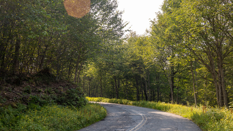
It's not a long stretch, but the spectacular setting makes up for its Lilliputian dimensions. Anticipate a drive that is a classic, twisting, turning mountain road, with dense forests on either side hiding any sense of the elevated location, though the ascents and downhills are a clear indication of the lay of the land. Though the road doesn't offer any top-of-the-world type views, there are numerous trails that branch off from it and lead to astounding vistas. A little to the west of the drive you'll find Bartlett Falls, by the New Haven River, where a large pool below the cascade is perfect for a cooling dip.
Mad River Byway
Close to Lincoln Gap Road, this scenic route offers a window onto the ravishing Mad River Valley. The drive is less than 40 miles, but there is plenty to see as the voyage will take visitors through classic Vermont towns and villages, and along the Green Mountains. Skiers might be familiar with this part of the state, with Sugarbush and Mad River Glen resorts located here. But there are plenty of other outdoor activities that are in this area — mountain biking, hiking along the trails of the Mad River Path, fishing or going for a swim in Mad River or Blueberry Lake (no salty aftertaste!), and relaxing by waterfalls.
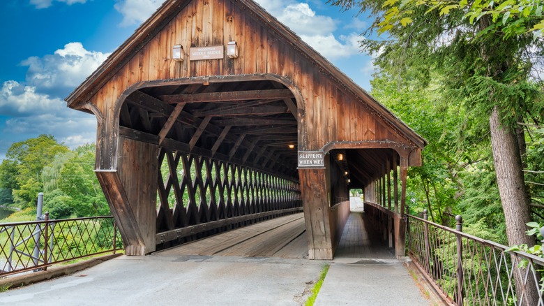
Perhaps the most memorable part of the drive, which mostly winds along Route 100, is the chance to see covered bridges along the way, as well as intimate wooden structures that speak of history and make for great photos. The churches you'll come across in the villages along the trip are equally mesmerizing.
Middlebury Gap
Also known as Route 125, this short drive — it's less than 10 miles long — can be covered in less time than it takes to watch an episode of "Seinfeld," but it's best enjoyed slowly, with some stops along the way turning it into a multi-hour adventure. The road, which links the outskirts of Middlebury to the town of Hancock, curls through the Green Mountain National Forest, and was designated a State Scenic Road in the 1980s. While the drive itself is stunning, especially in the fall when the trees flanking the tarmac set alight in vibrant, flame-like hues, many travelers come here for the hiking, biking, and cycling possibilities.
The road rises and falls over a ridge, so expect climbs and descents that open to views of valleys, mountains, and lakes. There is access along the way to the Long Trail, a 250-mile walking trail that runs up and down the state. One stop not to miss is Texas Falls, formed by glacial run-off and now home to a pretty waterfall and easy loop hiking trail.
Molly Stark Scenic Byway
Stretching along 48 miles of Route 9 between Bennington and Brattleboro, this route that travels east-west is steeped in history. This is same course where, back in 1777, General John Stark and his troops headed back to New Hampshire after the Battle of Bennington, a key assault against British-led forces (the highway is named for the general's wife).
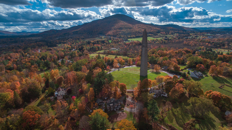
It's a striking part of the country, where you will be able to drink in vistas of rolling farmlands and forested mountains, and pass by covered bridges. Hogback Mountain Conservation Area is worth a visit, not just for the hiking and wildlife spotting — there are deer, bears, moose, and many migrant birds in the area — but the chance to see three states at once from the overlook. The past is commemorated at the Bennington Battle Monument, a striking limestone tower that rises more than 300 feet, and has an observation deck with views of Vermont, New Hampshire, and Massachusetts.
Mount Equinox Skyline Drive
The website for this amazing piece of roadway has a countdown clock that ticks over when the road is closed — marking the days, hours, minutes (and even seconds) until it reopens. Given its location, high above the peaks and valleys of Vermont, the road is only seasonally available to the public, during the warmer months, and while it might not seem like a long window, it's definitely worth waiting for. The road itself is Route 7A, sitting between the towns of Manchester and Arlington, with hours of operation from Memorial Day through Halloween. It's a privately owned stretch, and cars have to pay a fee to drive it ($25-$30 for a car and driver, with additional charges for more passengers).
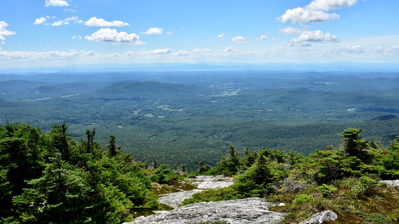
For the price, you'll climb more than 3,000 feet in 5.2 miles to the summit of Mount Equinox. Along the way, visitors will find a welcome center, viewpoints (some with views of a monastery), and four different types of forest. At the top, the view is truly majestic, with the ridges of the Green Mountains, the White Mountains, the Adirondacks, and the Berkshire and Taconic ranges undulating and rolling as far as the eye can see.
Mount Mansfield Auto Toll Road
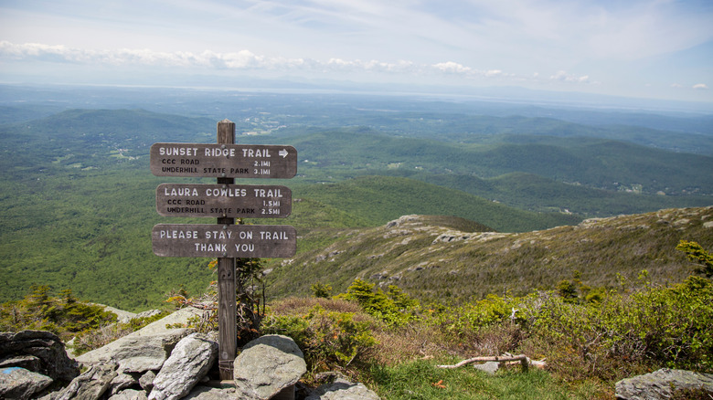
This access road from Stowe mountain resort is a breathtaking alpine climb. It's the kind of road that you should check your tire treads before attempting, such are the twists and turns of the section of tarmac that shuffles from Stowe resort to the top of Mount Mansfield, and that charges a fee for entry. The trip itself is a shade under five miles long, but with the winding path that the road takes, expect the journey to seem much longer, as it leads through the alpine forest, sometimes opening up to reveal the grandeur of the scenery.
In the end, you'll arrive at the Mount Mansfield Peak Visitor Center and wander up to the top of the mountain, the highest peak in the state at more than 4,000 feet above sea level. From there, you'll be able to see Lake Champlain and the Adirondack Mountains. It is, in a word, scenic.
Northeast Kingdom Byway
Glacial advances and tectonic shifts have played a large role in shaping the part of the state known at the Northeast Kingdom. You can see the evidence in the hulking mountains, the pretty, undulating hills, the lakes that look picture perfect, as they have for eons. These are the quintessential Vermont landscapes are on offer during this 50-mile drive that links a number of communities in the northeast, starting by the glacial Lake Memphremagog, which straddles Vermont and Quebec, and heading south to take in farms, forests, quaint towns, and babbling waterways.
The outdoors here is magnificent, with plenty of options to explore the backcountry. This is also a great drive for fans of covered bridges, with a handful of them in and around the town of Lyndon. While not all of them can be driven under, they are still worth visiting, with fine examples including the covered bridges of Chamberlin Mill, Miller's Run, and Sanborn.
Route 7
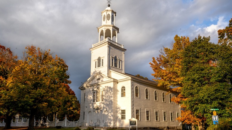
A trip that overlaps some of the other drives in this list, the excursion up Route 7 from Bennington, in the south of the state, to Burlington, in the center, presents a hit list of the some of the state's highlights, with history, scenery, art, and plenty of natural delights. In Bennington, a stop of the battle monument is a must, but the town also celebrates history through a place of worship. The Old First Church initially opened its doors to congregations in 1762, and it was the first Protestant church built in the state, though the current building dates to the early 1800s. It is a tasteful structure, with an ornate bell tower and whitewashed interiors, while its cemetery counts poet Robert Frost among those interred.
As you head north, you'll drive through archetypal country lanes, with trees thick on each side, and along the way, attractions include covered bridges, waterfalls, state parks, and in Rutland, a series of striking murals in and around West Street and Center Street. Further north, the road encounters the lilting waters of Lake Champlain, and from here you can join the Lake Champlain Byway.
Route 100
This road, basically one long country lane, slices through the state in a zig-zagging, north-south direction, with some of it making up the Mad River Byway. But there's much to see along a thoroughfare that stretches all the way to Canada, even if just for the simple pleasure of driving along rural roads where slowing down and taking in the tranquility is the star attraction. The trip can feel very remote at times, but there are towns and villages close by at all points, so if you need to get back to civilization at any point, it's easy to do.
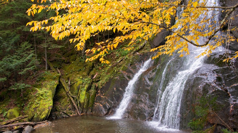
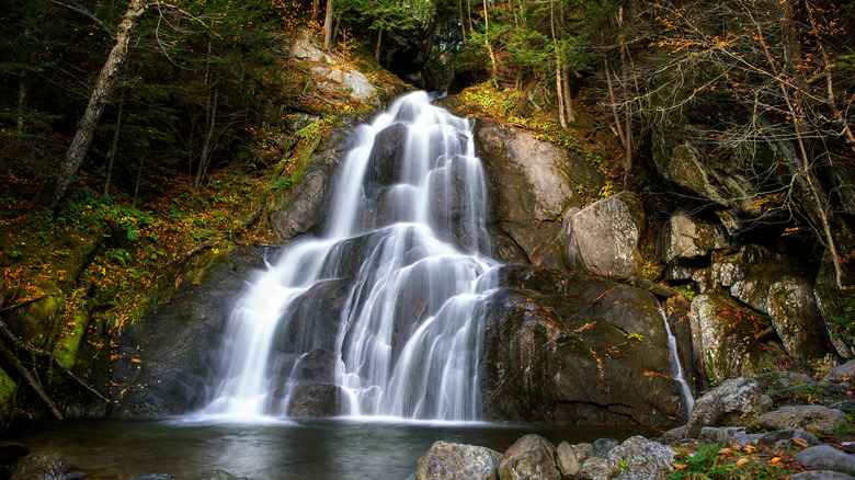
Among the highlights are the activities of Mount Snow, which promises fabulous skiing and hiking, as well as incredible views of Somerset Reservoir, the attractive grounds of the President Calvin Coolidge Historic Site, and the hypnotic Moss Glen Falls. Take your time on this trip, and soak in the mountains, the countryside, the farms and homesteads, and the charming little villages along the way.
Route 313
In the south of the state, not too far from the border with Massachusetts, this petite road bleeds between New York and Vermont, but packs plenty of punch into it brief span. Linking the towns of Cambridge in New York State, and Arlington in Vermont, the country road measures under 20 miles long, with less than half of it in Vermont, so while technically this drive isn't entirely in Vermont, it's still worth including for the mountains, woods, and fields you will encounter.
Close to Cambridge, Eldridge Swamp State Forest might be popular with hunters, but you can still come here to marvel at the expanses of grass, wetlands, and forests of spruce. You might also see some of the varied wildlife, from reptiles and amphibians to hawks, raccoons, and porcupine. The drive also features some covered bridges, while travelers that love to laze in the sun can take a tubing trip on the Battenkill River.
Shires of Vermont Byway
Also known as Route 7A, and with parts that fall under the Route 7 drive above, this trail sweeps through pretty Vermont towns and some striking countryside. The towns of Manchester and Bennington anchor this drive, with the Molly Stark Scenic Byway easy to access from here, and towns like Arlington, Shaftsbury, and Sunderland in between, offering easy stops for exploration along the way. Bennington needs little introduction, with plenty of history on show. Manchester also boasts a rich heritage, with marble sidewalks and large, impressive homes that made it a destination for visitors even before the Civil War.
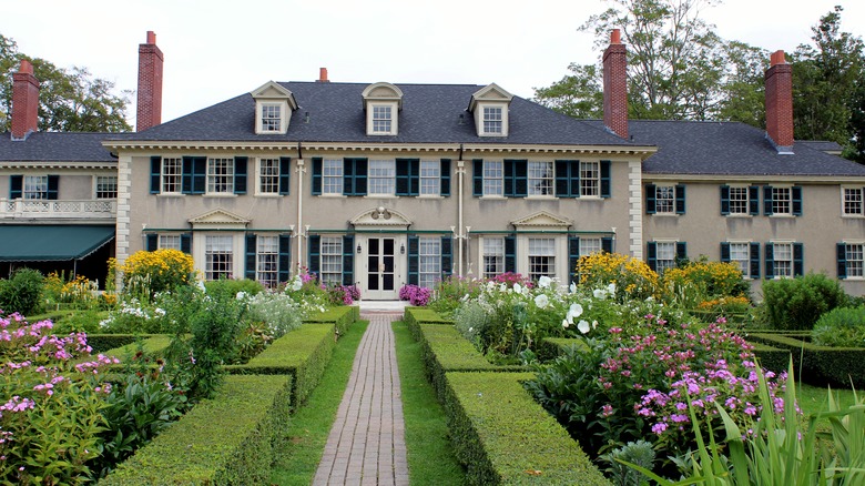
The Batten Kill is a popular trout stream, not just with fishers but also amblers that like to wander along its Riverwalk. Elsewhere, you can visit museums of art, fly fishing, and even stop in the Hildene museum, which is the family home of Abraham Lincoln's son, Robert. Aim to come here in the fall for an obscene optical overload.
Smugglers' Notch Scenic Byway
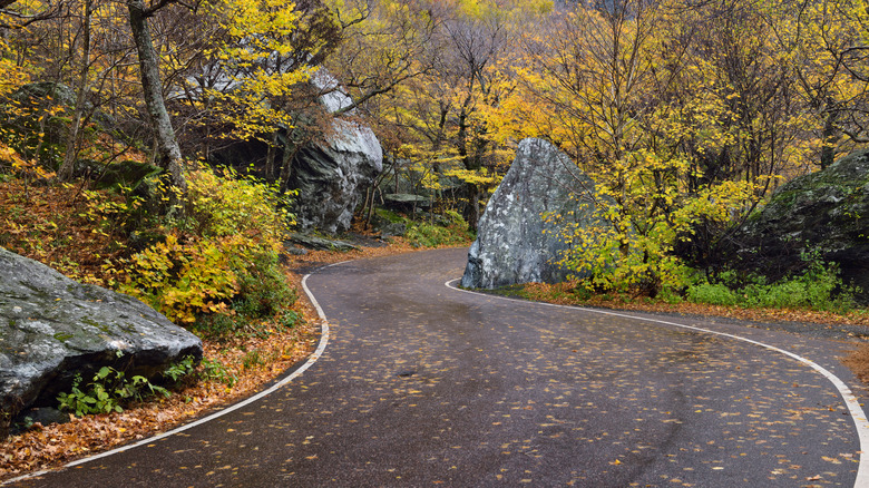
This stunning mountain terroir is a small part of the Green Mountain Byway, perhaps the most dramatic portion of an already startling piece of roadway, and close to Mount Mansfield. There's an almost prehistoric feel to the roadway, with large boulders and outcroppings, and dense forests creating the atmosphere of an aged, hidden realm, mountain ridges peeking out from beyond the tree line.
It's not a long section of road, a few miles, with its intended purpose as a thoroughfare between resorts in the area, and also as an access point for the Long Trail. But this doesn't mean it should be overlooked, and the compact piece of tarmac is a feast for the eyes, with many twists and tight turns, and sections where the road narrows until it's only wide enough for one car. You can get your bearings at the beginning of the drive at the Baines Camp Visitor Center, where travelers can read about local history, culture, and nature. For anyone wondering how this area got its name, it was frequented by smugglers going to and from Canada during the War of 1812.
Stone Valley Scenic Byway
A slice of Route 30 that connects Manchester and Poultney, this bit of Vermont is a bit of a rock star — the area has a deep history in marble and slate quarrying. Drive along this road and you'll notice the forested hills rising to the side of the road, with wooden barns scattered roadside adding a comforting, pastoral layer to the montage. There are also plenty of waterways to admire, from the Poultney and Mettawee rivers to Lake St. Catherine, the drive crossing over or running alongside these bodies of water at various points.
For some down time by the lake, stop at Lake St. Catharine State Park, near Poultney, where boating, camping, fishing, and swimming are summer escapes; if you're lucky, you might spot white-tailed deer. For the rest of the drive, expect to see plenty of Vermont's gorgeous countryside, with forests and farmland with broad fields connecting small villages along the way.
